
Land Survey
CEC Surveying and Mapping understands the importance of getting the job done right. We meet with our clients to gain a comprehensive understanding of the project at hand and to develop a long lasting relationship. We have the ability to complete the largest of projects down to the smallest surveys, and everything in between, with a full range of services available.
CEC Survey and Mapping utilizes up to date RTK GNSS systems, robotic total stations, conventional total stations, and data collection devices to complete our surveys. We always strive to follow in the footsteps of the original surveyor to make sure our clients are getting the quality needed. We also integrate conventional ground survey with our LiDAR services to provide a more thorough and complete topographic survey for our client’s design teams. Getting the job done right allows projects to get built right.
Featured Projects
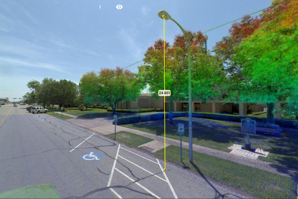
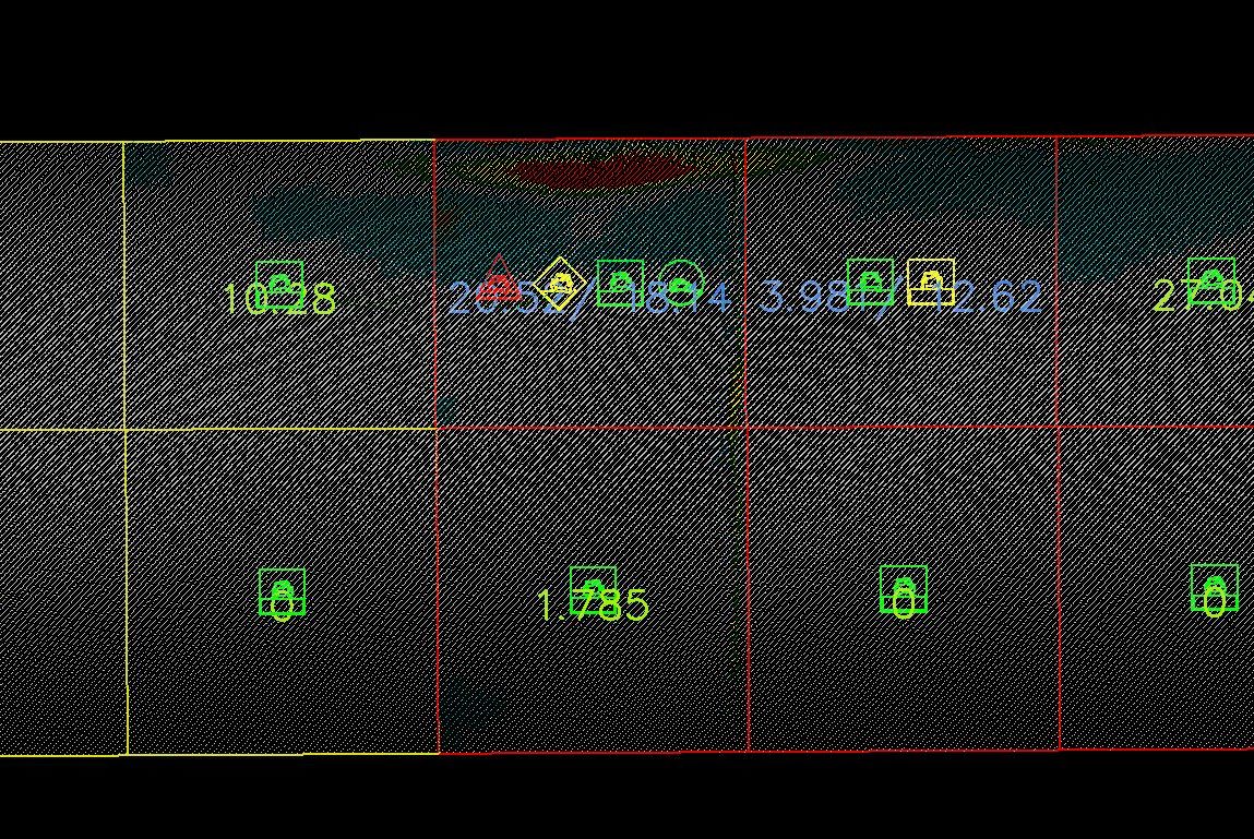
Business District Light Pole Inventory
CEC was able to develop a tool that parsed the 3D scan data to automatically find and extract this special light pole design – resulting in direct reduction of manual data processing time. Learn More →
Paving Program Consultant
This project helps the City identify and address the community’s most distressed roadways. Learn More →
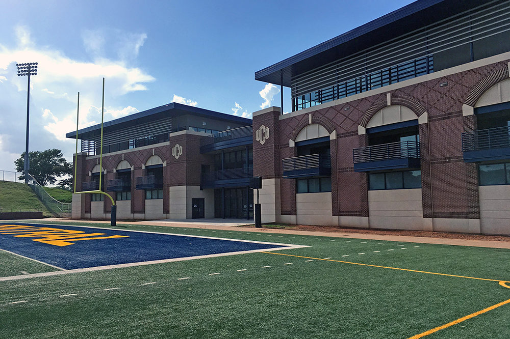
UCO Sports Performance Center
CEC provided design survey for the new Sports Performance Center for the University of Central Oklahoma (UCO) located in Edmond, Oklahoma. Learn More →
Our Services
- Transportation Design Surveys
- Sewer and Water Line Surveys
- Commercial Site Development Surveys
- Topographical Surveys
- Route Surveys
- LiDAR Control Surveys
- Photogrammetry Control Surveys
- ALTA/NSPS Surveys
- Boundary Surveys
- Lot/Parcel Split Surveys
- Retracement Surveys
- Right-of-Way Surveys
- Right-of-Way Staking
- Construction Staking
- Utility Layout Staking
- As-Built Surveys
- Forensic Surveys
- Bathymetric Surveys
- Earthwork Quantity Surveys
- General Mapping Services
- Computation of New Acquisition, Permanent, and Temporary Easements
- Preparation of Legal Descriptions
- Easement Exhibit Preparation