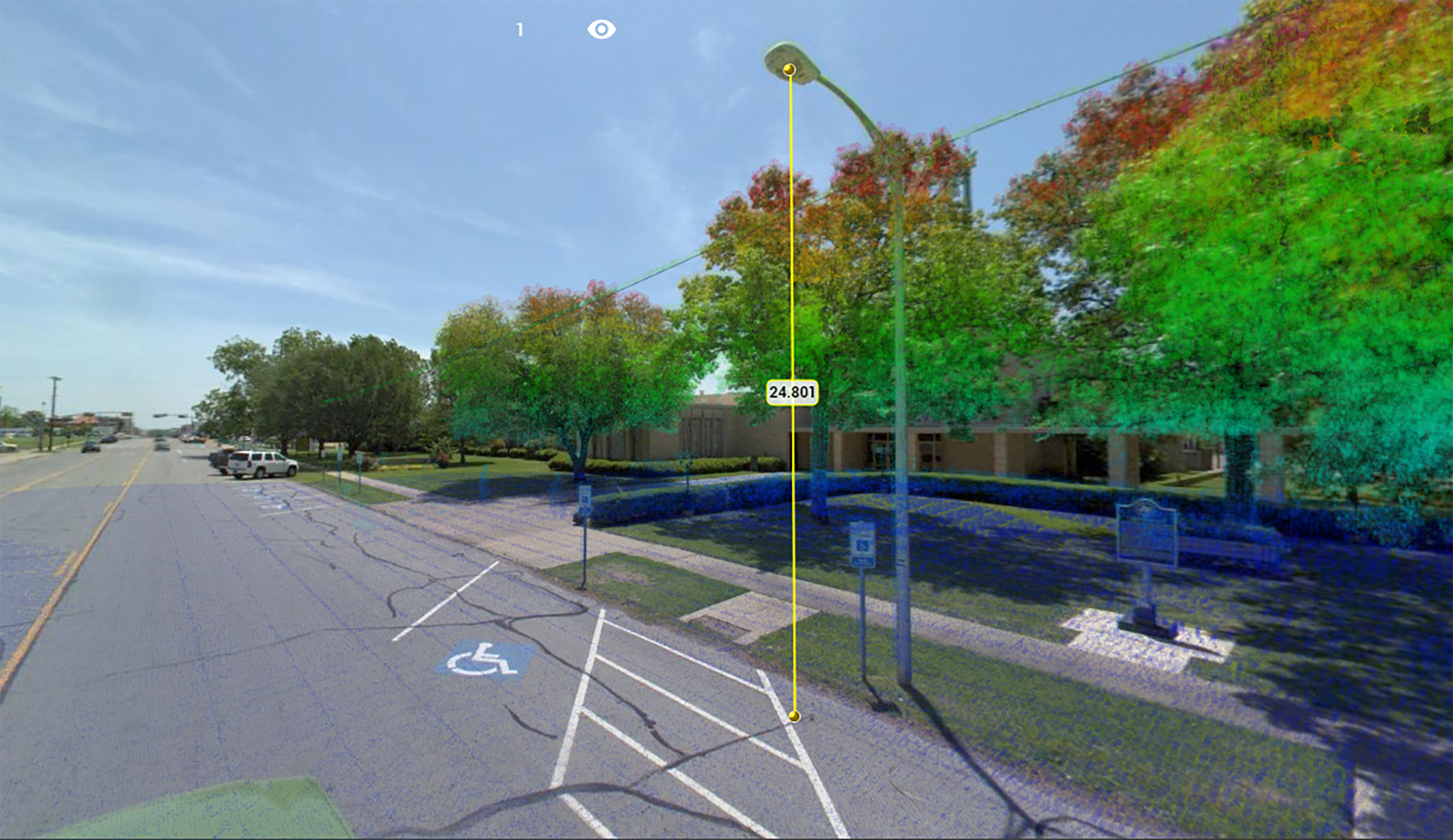
Business District Light Pole Inventory
CEC utilized its mobile mapping system to scan every major roadway in Oklahoma City’s Business District. The 3D scan data was analyzed and used to extract the location of a certain type of light pole. CEC was able to develop a tool that parsed the 3D scan data to automatically find and extract this special light pole design – resulting in direct reduction of manual data processing time.
Pole Loading Analysis in Texas
Our team performed Pole Loading Analysis on 1200 Xcel Energy poles in Texas.
More Details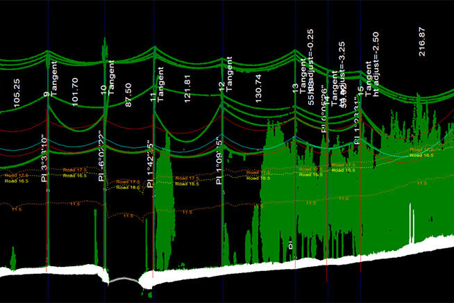
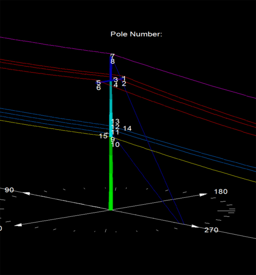
Fiber Analysis in Oklahoma
This project included physical in-field height measurements of all existing conductors and telecommunication lines, as well as LiDAR scanning.
More Details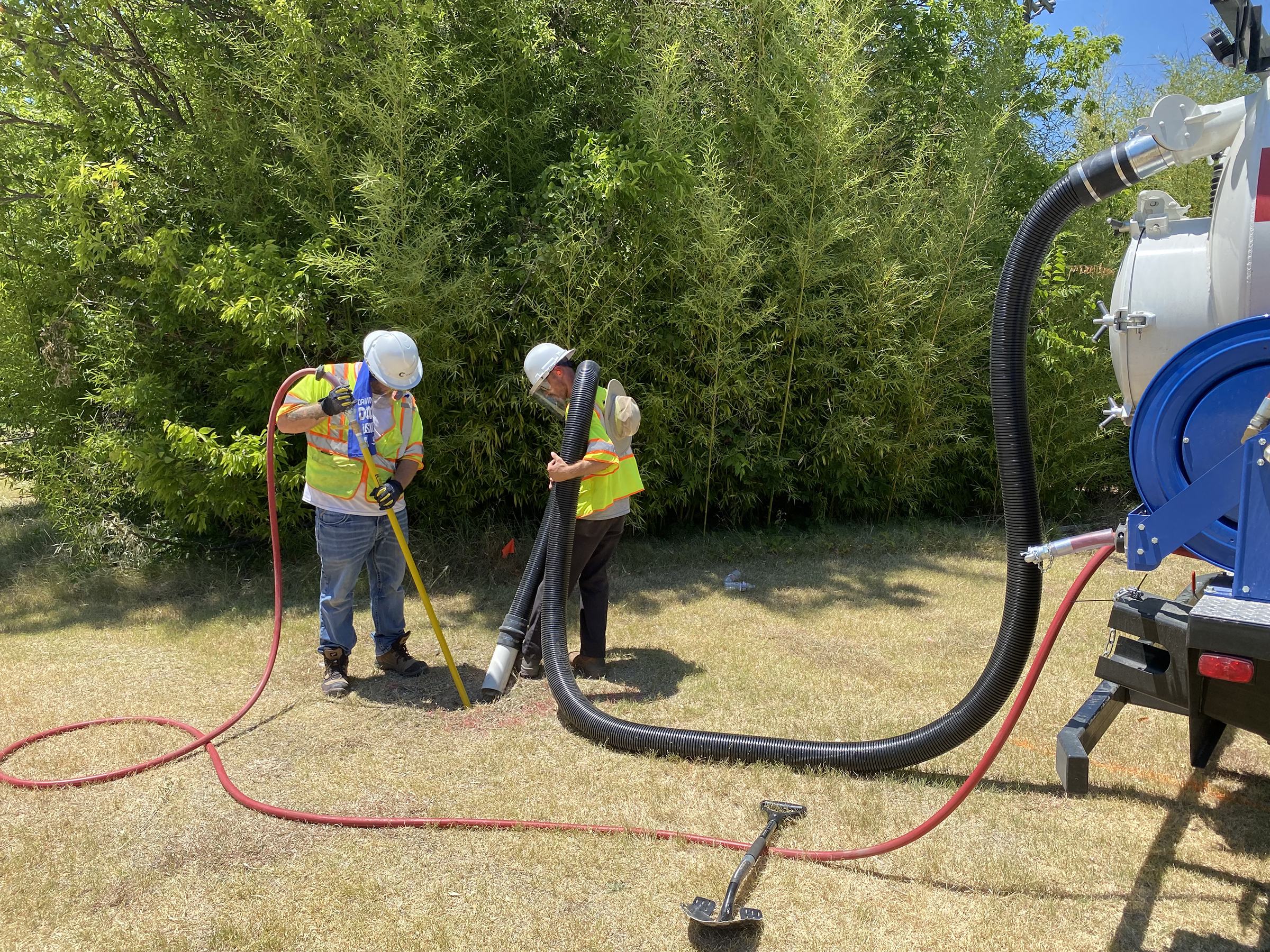
City Of Richardson 30-Inch Waterline
CEC provided Quality Level B Designating and Quality Level A Test Holes for the City of Richardson.
More Details