Paving Program Consultant
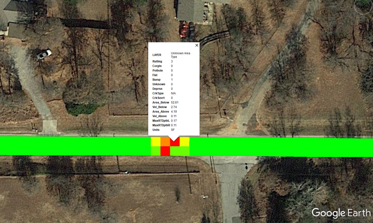
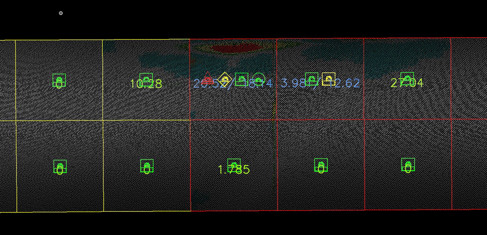
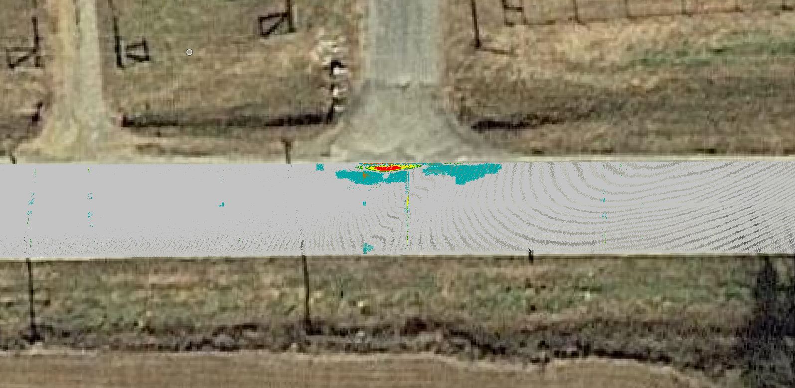
CEC was tasked with utilizing LiDAR technology and data analysis tools to scan and analyze the condition of 563 miles of roadway in Oklahoma City. The acquired data was used to develop and prioritize pavement projects for the City. CEC worked directly with Oklahoma City staff to ensure the acquired pavement analysis data would be consumable by the City’s existing GIS and pavement analysis programs.
This project has supported the City in using data-driven analysis to best support the pavement rehabilitation projects throughout the City. This, in turn, helps the City identify and address the community’s most distressed roadways.
Location
Oklahoma City, Oklahoma
Services
Land Survey, Power Distribution Design, Power Transmission Design, Remote Sensing, Roadway Engineering, Streets and Stormwater, Traffic Engineering
Contact for More Information
Pole Loading Analysis in Texas
Our team performed Pole Loading Analysis on 1200 Xcel Energy poles in Texas.
More Details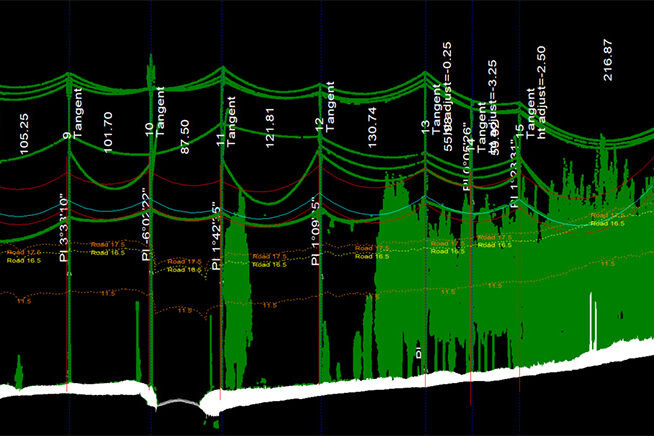
Fiber Analysis in Oklahoma
This project included physical in-field height measurements of all existing conductors and telecommunication lines, as well as LiDAR scanning.
More Details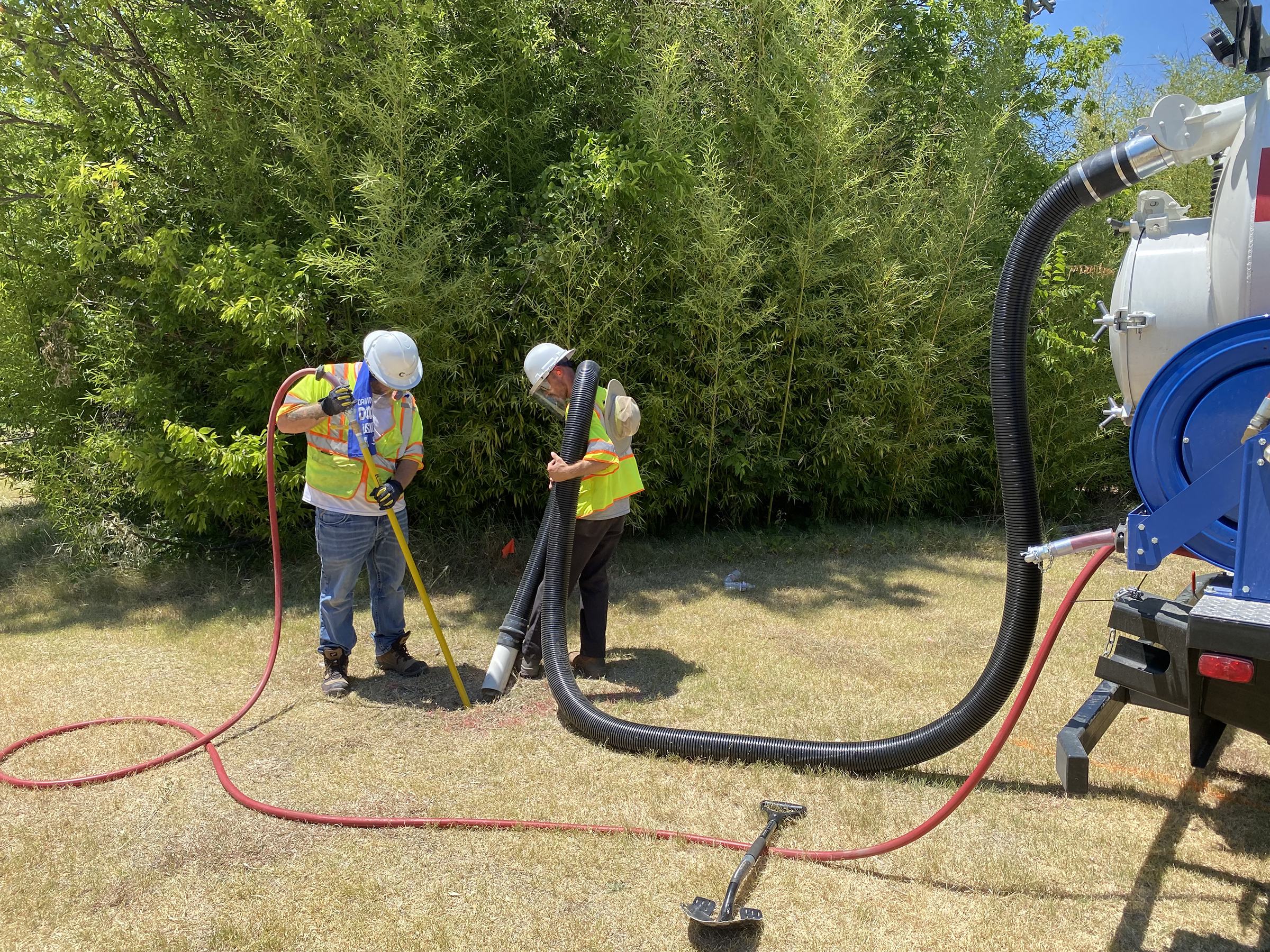
City Of Richardson 30-Inch Waterline
CEC provided Quality Level B Designating and Quality Level A Test Holes for the City of Richardson.
More Details