
Terrestrial LiDAR Historical Documentation
CEC was contracted to provide 3D laser scanning services to support restoration efforts for the Warden’s House, located in McAlester, OK. The Warden’s House was placed on the U.S. National Register of Historical Places in 2005. Being that the house was designed and constructed in the early 1900s, there is no surviving as-built documentation.
In order to accurately document the existing structure, CEC utilized a terrestrial LiDAR system to acquire the 3D laser scan data. Due to the ornate and intricate design of the building, a detailed data collection plan was implemented in order to adequately reduce line-of-sight issues.
CEC also utilized the acquired 3D laser scan data to generate a 3D model. To support the architectural efforts for restoration, a detailed Revit model was created that will aid in the renovation of the Warden’s House.
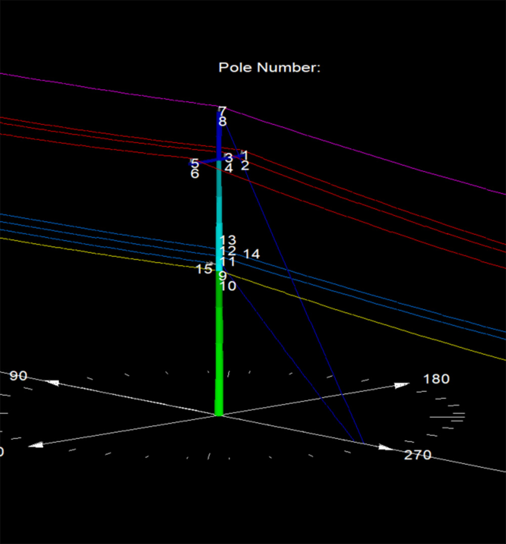
Pole Loading Analysis in Texas
Our team performed Pole Loading Analysis on 1200 Xcel Energy poles in Texas.
More Details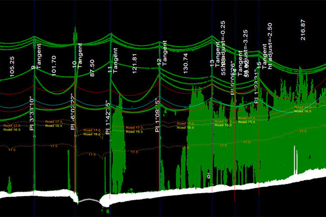
Fiber Analysis in Oklahoma
This project included physical in-field height measurements of all existing conductors and telecommunication lines, as well as LiDAR scanning.
More Details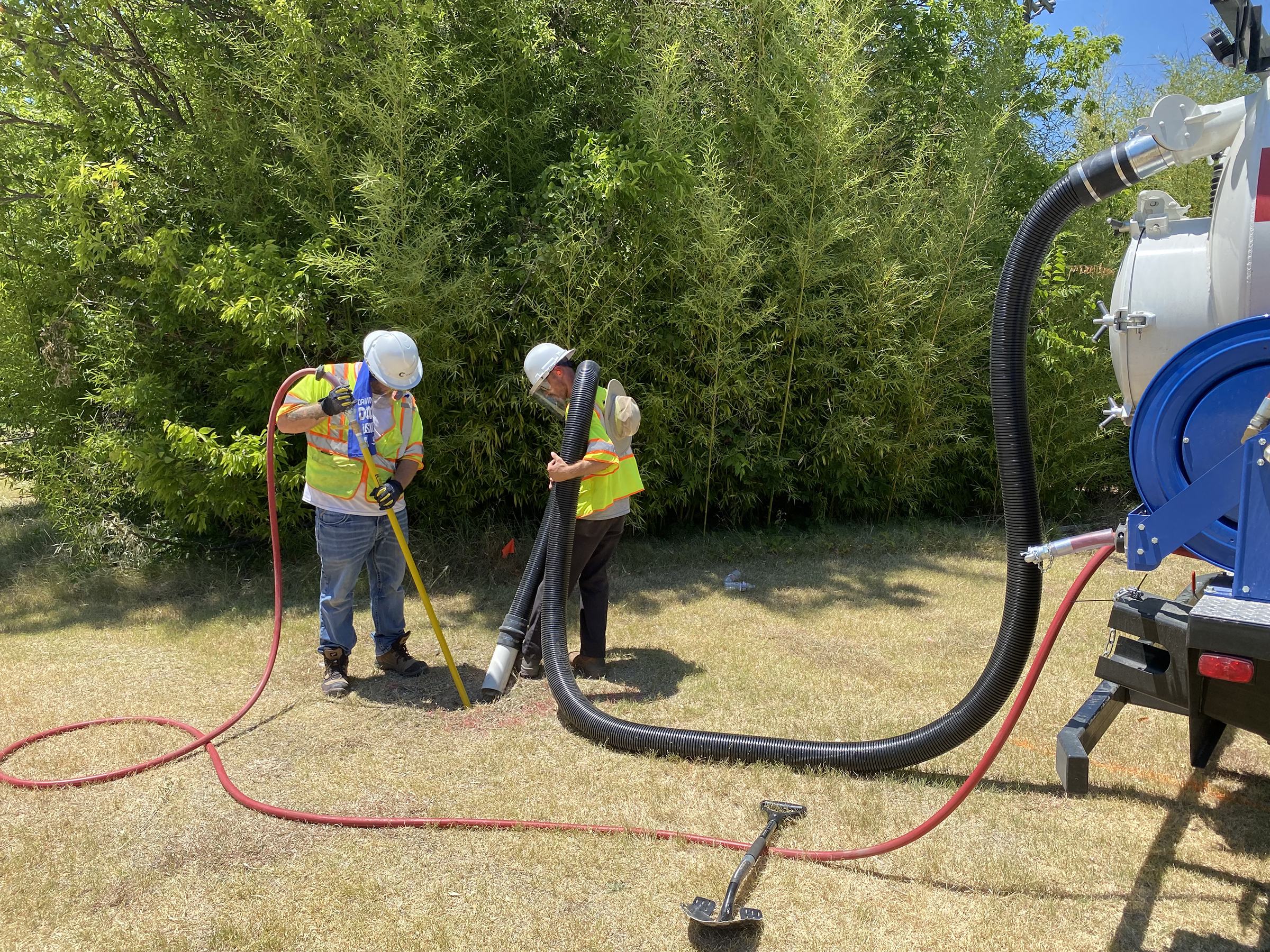
City Of Richardson 30-Inch Waterline
CEC provided Quality Level B Designating and Quality Level A Test Holes for the City of Richardson.
More Details