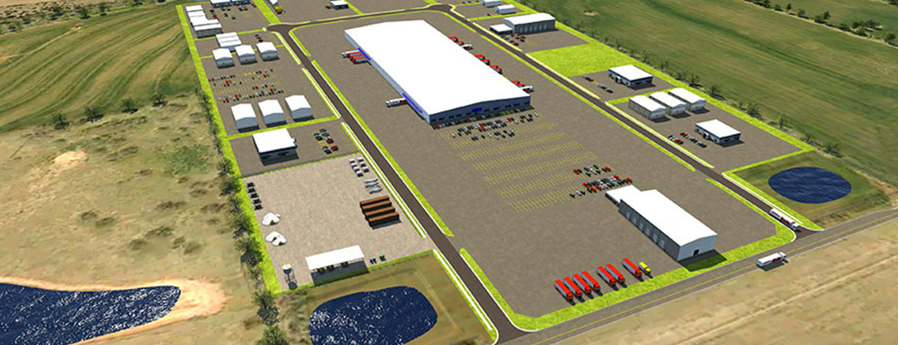
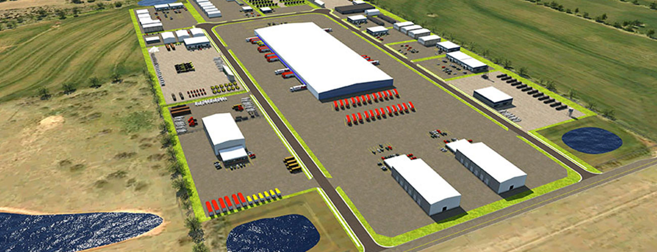
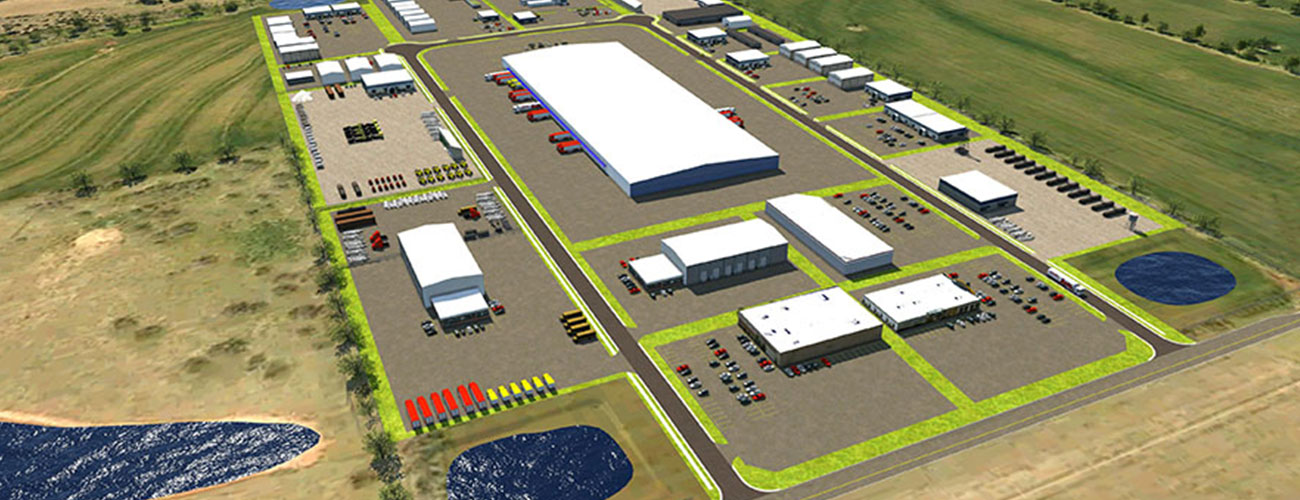

Rockwell Heights
Visualization has extended use beyond roadway and civil projects. In the Summer of 2017, CEC was approached with the idea of using visualization to present the potential use of land to consumers. At the time, the land for the project had only just begun grading and leveling to put in the main road through the industrial park. There was a general plan for how the lots would be laid out and what might go in them but this would ultimately be up to whoever bought the lots. Rockwell Heights contracted the team at CEC to help show how potential buyers might be able to use the lots.
The visualization team at CEC created a model based on provided designs. However, this time we were given freedom in how we laid out the park. The only real constraints were the size of the lots and that there would likely be a distribution center in the middle island. The team at CEC decided to go with three different proposals that would show off various configurations of buildings which highlighted the different ways that the land could be used. Given that this area would also be almost entirely commercial buildings, we also wanted to show the ease with which large trucks and semis could enter and exit the area.
US-69 Calera
One of the largest projects in Oklahoma, US-69 is an example of visualization used at every stage of the project, from project bidding to the public meeting and…
More Details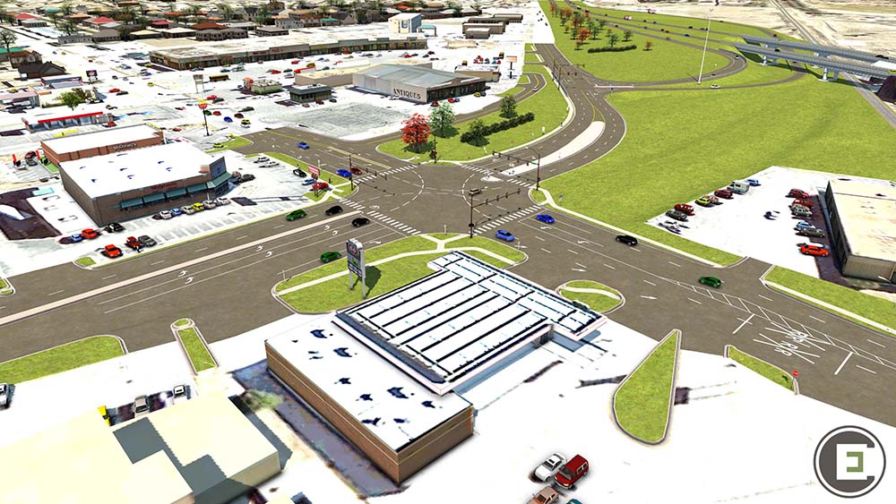
I-40 Exit 82 Weatherford
This project created space for 12 additional based airplanes, to be housed in modern, well-lit hangars with hydraulically operated motorized doors.
More Details